Premium Framed Print > North America > United States of America > New York > New York > Maps
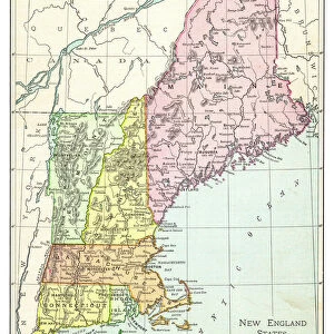
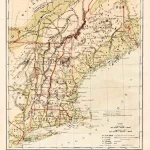
Premium Framed Print : NEW ENGLAND MAP, c1775. Engraved map, c1775, of colonial New England


![]()
Framed Photos from Granger
NEW ENGLAND MAP, c1775. Engraved map, c1775, of colonial New England
NEW ENGLAND MAP, c1775. Engraved map, c1775, of colonial New England, thought to be the last such map printed before the American Revolutionary War
Granger holds millions of images spanning more than 25,000 years of world history, from before the Stone Age to the dawn of the Space Age
Media ID 6616339
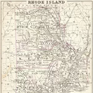
1775 Colony Connecticut Massachusetts New Hampshire New York Rhode Island Vermont
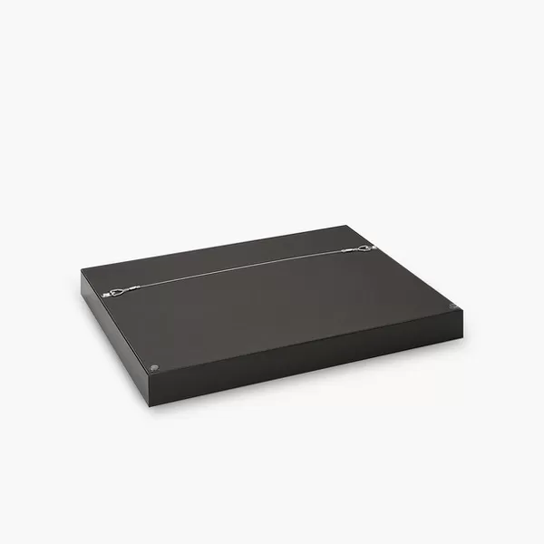
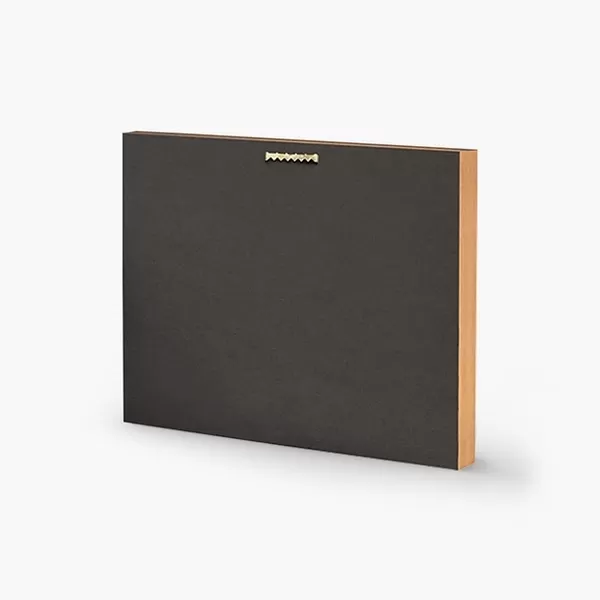
14"x16" Premium Frame
Contemporary style Premium Wooden Frame with 8"x10" Print. Complete with 2" White Mat and 1.25" thick MDF frame. Printed on 260 gsm premium paper. Glazed with shatter proof UV coated acrylic glass. Backing is paper covered backing with rubber bumpers. Supplied ready to hang with a pre-installed sawtooth/wire hanger. Care Instructions: Spot clean with a damp cloth. Securely packaged in a clear plastic bag and envelope in a reinforced cardboard shipper
FSC Real Wood Frame and Double Mounted with White Conservation Mountboard - Professionally Made and Ready to Hang
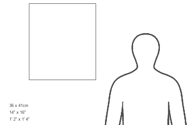
Estimated Image Size (if not cropped) is 20.3cm x 25.4cm (8" x 10")
Estimated Product Size is 35.6cm x 40.6cm (14" x 16")
These are individually made so all sizes are approximate
Artwork printed orientated as per the preview above, with portrait (vertical) orientation to match the source image.
FEATURES IN THESE COLLECTIONS
> Granger Art on Demand
> Maps
> Arts
> Landscape paintings
> Waterfall and river artworks
> River artworks
> Europe
> United Kingdom
> England
> Hampshire
> Related Images
> Europe
> United Kingdom
> England
> Maps
> Europe
> United Kingdom
> England
> Rivers
> Europe
> United Kingdom
> England
> York
> Historic
> Colonial America illustrations
> Colonial America
> Maps and Charts
> Related Images
> North America
> United States of America
> New York
> New York
> Maps
> North America
> United States of America
> New York
> Related Images
EDITORS COMMENTS
This print showcases a remarkable piece of history - the "NEW ENGLAND MAP, c1775". Engraved with precision and care, this map offers a glimpse into colonial New England during a pivotal time in American history. Believed to be the final map printed before the outbreak of the American Revolutionary War, it holds immense significance. The intricate details on this engraved map transport us back to a bygone era. From the bustling streets of New York to the picturesque landscapes of Massachusetts and Connecticut, every colony is meticulously depicted. The inclusion of Vermont, North Rhode Island, and New Hampshire further enriches our understanding of this region's historical boundaries. As we explore this extraordinary artwork from The Granger Collection, we can't help but marvel at its historical importance. It serves as a tangible reminder of how these colonies were interconnected long before they became states united under one flag. Whether you are an avid historian or simply appreciate art that tells stories from our past, this print is sure to captivate your imagination. Display it proudly in your home or office space as a testament to America's rich heritage and the enduring spirit that shaped our nation.
MADE IN THE USA
Safe Shipping with 30 Day Money Back Guarantee
FREE PERSONALISATION*
We are proud to offer a range of customisation features including Personalised Captions, Color Filters and Picture Zoom Tools
SECURE PAYMENTS
We happily accept a wide range of payment options so you can pay for the things you need in the way that is most convenient for you
* Options may vary by product and licensing agreement. Zoomed Pictures can be adjusted in the Cart.