Fraud Blocker Skip to main content

Poster Print > Fine Art Storehouse > Map

Map Poster Print Collection

Charting the Past: Unveiling the Timeless Beauty of Historical Maps

Choose a picture from our collection for your Wall Art and Photo Gifts

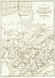
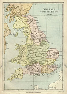
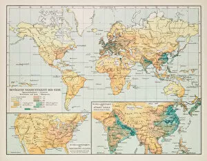
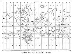
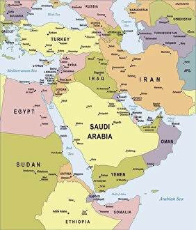
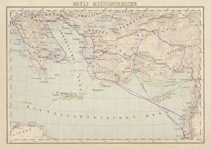
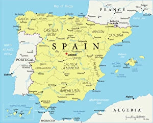
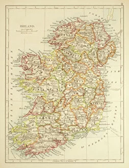
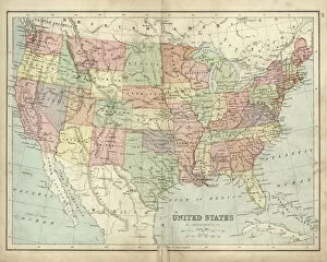
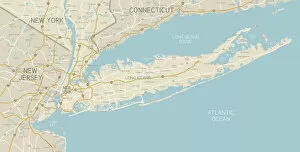
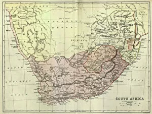
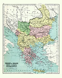
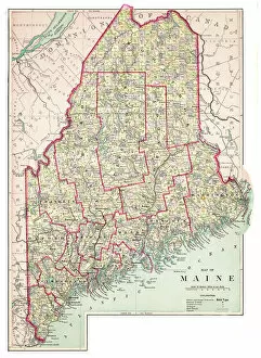
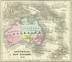
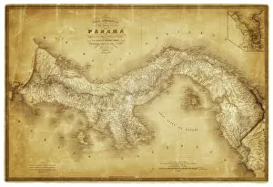
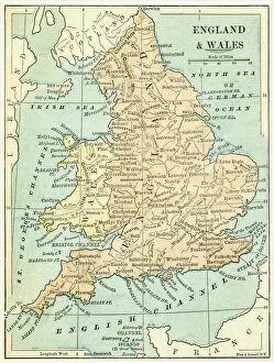
Embark on a captivating journey through time with our collection of historical maps. These exquisite prints offer a glimpse into the intricate cartographic artistry of the past, transporting you to eras long gone. Explore the evolving landscapes, uncharted territories, and ancient civilizations that shaped our world.

Indulge your curiosity as you immerse yourself in the meticulously detailed maps that guided explorers, adventurers, and navigators on their extraordinary quests. From the age of early cartography to the golden age of map making, these treasures provide a window into the rich tapestry of human history

3,678 Poster Prints

We are proud to offer this selection in partnership with Fine Art Storehouse

Map Poster Print Collection: Art Illustration Maps

Art Illustration Maps Collection
44 Poster Prints

Map Poster Print Collection: Cartoon Maps

Cartoon Maps Collection
49 Poster Prints

Map Poster Print Collection: Celestial Maps

Celestial Maps Collection
49 Poster Prints

Map Poster Print Collection: Denmark Maps

Denmark Maps Collection
79 Poster Prints

Map Poster Print Collection: Historical Maps

Historical Maps Collection
3,388 Poster Prints

Map Poster Print Collection: Italian Maps

Italian Maps Collection
207 Poster Prints

Map Poster Print Collection: Map Illustrations

Map Illustrations Collection
140 Poster Prints

Map Poster Print Collection: Reference Maps

Reference Maps Collection
1,249 Poster Prints

Map Poster Print Collection: Satellite Maps

Satellite Maps Collection
19 Poster Prints

Map Poster Print Collection: Street Maps

Street Maps Collection
290 Poster Prints

Map Poster Print Collection: USA Maps

USA Maps Collection
724 Poster Prints

Background imageMap Poster Print Collection: Battle Of Waterloo

Battle Of Waterloo
A plan of the Battle of Waterloo in present-day Belgium during the Napoleonic Wars, 18th June 1815. Here an Anglo-Allied army under the command of the Duke of Wellington defeated the Imperial French

Background imageMap Poster Print Collection: Antique map of Britain under the Anglo Saxons

Antique map of Britain under the Anglo Saxons

Background imageMap Poster Print Collection: Map of earth population 1895

Map of earth population 1895
Map of earth population

Background imageMap Poster Print Collection: Chart of the Beagles voyage. Charles Darwin travel map

Chart of the Beagles voyage. Charles Darwin travel map - Scanned 1880 Engraving

Background imageMap Poster Print Collection: Map of France 1900

Map of France 1900
Meyers hand-Atlas Leipzig und Wien Verlag des Bibliographischen Instituts 1900

Background imageMap Poster Print Collection: Map of Middle East - illustration

Map of Middle East - illustration
Colored Map of Middle East Asia with Country Names and Capital Cities

Background imageMap Poster Print Collection: Apostle Pauls Missionary Journeys, lithograph, published in 1886

Apostle Pauls Missionary Journeys, lithograph, published in 1886
Apostle Pauls Missionary Journeys: 1st (green); 2nd (red); 3rd (blue); last to Rome (yellow). Lithograph, published in 1886. Paul travelled over 10, 000 miles proclaiming the gospel of Jesus Christ

Background imageMap Poster Print Collection: Reference Map of Spain

Reference Map of Spain
The Spain Map shows that Spain is situated in south-western Europe. Spain is bordered by Mediterranean Sea, Gibraltar, France, Andorra, Bay of Biscay, Atlantic Ocean and Portugal

Background imageMap Poster Print Collection: Map of Ireland 1897

Map of Ireland 1897
Map of Ireland

Background imageMap Poster Print Collection: Ethnological map of the Austro-Hungarian Empire, lithograph, published in 1897

Ethnological map of the Austro-Hungarian Empire, lithograph, published in 1897
Ethnological map of the Austro-Hungarian Empire. Lithograph, published in 1897

Background imageMap Poster Print Collection: Map of the Byzantine Empire in the 9th Century

Map of the Byzantine Empire in the 9th Century
Vintage engraving of a Map of the Byzantine Empire in the 9th Century

Background imageMap Poster Print Collection: Coloured Map of Nigeria with Flag

Coloured Map of Nigeria with Flag
Nigeria is located in western Africa. Nigeria is bordered by the Gulf of Guinea, Benin to the west, Niger to the north, and Chad and Cameroon to the east

Background imageMap Poster Print Collection: England in the Ninth Century

England in the Ninth Century
An antique map from 1875 showing the different kingdoms of England in the 9th century

Background imageMap Poster Print Collection: Cuba map 1896

Cuba map 1896
Andres Allgemeiner Handatlas - Bielefeld und Leipzig 1896

Background imageMap Poster Print Collection: Antique map, Liverpool and Birkenhead, England, 19th Century

Antique map, Liverpool and Birkenhead, England, 19th Century
Vintage engraving of a Antique map, Liverpool and Birkenhead, England, 19th Century

Background imageMap Poster Print Collection: Map of Southern States USA 1895

Map of Southern States USA 1895
The Rand-McNally Grammar School Geography 1895 - Chicago & New York

Background imageMap Poster Print Collection: Earth map according to Herodotus

Earth map according to Herodotus
Antique illustration of a earth map according to Herodotus

Background imageMap Poster Print Collection: Antique map of USA in the 19th Century, 1873

Antique map of USA in the 19th Century, 1873
Vintage engraving of a Antique map of United States of America in the 19th Century, 1873

Background imageMap Poster Print Collection: NYC Region and Long Island Map

NYC Region and Long Island Map
A map of the region around New York City and Long Island, including New Jersey and the coast of Connecticut. Includes major highways, cities, and lakes

Background imageMap Poster Print Collection: Antique map of South Africa, 1884, 19th Century

Antique map of South Africa, 1884, 19th Century
Vintage engraving of Antique map of South Africa, 1884, 19th Century

Background imageMap Poster Print Collection: Antique map of Greece, Romania, Bulgaria, 1897, late 19th Century

Antique map of Greece, Romania, Bulgaria, 1897, late 19th Century
Vintage engraving of a Antique map of Greece, Romania, Bulgaria, 1897, late 19th Century

Background imageMap Poster Print Collection: City map of Florence, Italy, lithograph, published in 1897

City map of Florence, Italy, lithograph, published in 1897
City map of Florence - capital city of the Italian region of Tuscany. Lithograph, published in 1897

Background imageMap Poster Print Collection: Ancient History - Map of Alexander the Great Campaigns

Ancient History - Map of Alexander the Great Campaigns
Vintage engraving of a map of the campaigns and marches of Alexander the Great

Background imageMap Poster Print Collection: Antique map of Austria Hungary 19th Century

Antique map of Austria Hungary 19th Century
Vintage engraving of a Antique damaged map of Austro-Hungarian Empire in the 19th Century, 1873

Background imageMap Poster Print Collection: Arizona map 1893

Arizona map 1893
Johnsonas Universal Cyclopedia - Charles Kendall - New York 1893

Background imageMap Poster Print Collection: Antique map of the Roman Empire

Antique map of the Roman Empire, with a detail on Rome

Background imageMap Poster Print Collection: Map of Anglo-Saxon Kingdoms and the Danelaw, 9th Century

Map of Anglo-Saxon Kingdoms and the Danelaw, 9th Century
Vintage engraving of a Map of Anglo-Saxon Kingdoms and the Danelaw, 9th Century

Background imageMap Poster Print Collection: Flat map of Austria with the Austrian flag

Flat map of Austria with the Austrian flag

Background imageMap Poster Print Collection: China map

China map
illustration of a South Eastern Asia map

Background imageMap Poster Print Collection: Map of Maine USA 1883

Map of Maine USA 1883
Warrens Common School Geography

Background imageMap Poster Print Collection: Map of Australia and New Zealand 1856

Map of Australia and New Zealand 1856
Colton and Fitchs Modern School Geography by George W. Fitch - New York 1856

Background imageMap Poster Print Collection: Travels of The Apostle Paul Map Engraving

Travels of The Apostle Paul Map Engraving
Engraved illustration of the Travels of The Apostle Paul Map Engraving from The Popular Pictorial Bible, Containing the Old and New Testaments, Published in 1862

Background imageMap Poster Print Collection: Map of Panama 1864

Map of Panama 1864
Map of Panama - combined with 2 different texture overlays

Background imageMap Poster Print Collection: England and Wales map 1875

England and Wales map 1875
The Independent Course Comprehensive Geography by James Monteith, A.S. Barnes & Co, New York & Chicago 1875

Background imageMap Poster Print Collection: Map of the Battle of Waterloo, Belgium, 18 June 1815

Map of the Battle of Waterloo, Belgium, 18 June 1815
Topographic map of the Battle of Waterloo, Belgium. The defeat of the French army under the command of Napoleon Bonaparte on 18 June 1815 marked the end of the Napoleonic Wars

Background imageMap Poster Print Collection: Map of the Ancient World according to Herodotus

Map of the Ancient World according to Herodotus
Vintage engraving of a Map of the Ancient World according to Herodotus. Herodotus was a Greek historian who was born in Halicarnassus, Caria and lived in the fifth century BC

Background imageMap Poster Print Collection: Historical city map of Heidelberg, Baden-WAOErttemberg, Germany, lithograph, published 1897

Historical city map of Heidelberg, Baden-WAOErttemberg, Germany, lithograph, published 1897
Historical city map of Heidelberg, Baden-WAOErttemberg, Germany. Lithograph, published in 1897


Uncover the allure of these timeless masterpieces, where geography blends with imagination. Whether you're an avid historian, a curious traveller, or an art connoisseur, this collection invites you to witness the remarkable craftsmanship and storytelling embedded in each map. Discover the allure of bygone eras and embark on a visual odyssey with Fine Art Storehouse, where the echoes of the past come alive through the beauty and intricacy of historical maps.

All Professionally Made to Order for Quick Shipping


-

Why Choose Us?

We are a leading provider of Art Prints and Photo Gifts since 2003, working in partnership with a range of Sporting Clubs, Charities, Museums and Picture Libraries. A large share of profits from any of their images will go directly towards supporting that charity or club. Our archive of images is carefully curated to bring you a wide range of subjects, including landscapes, wildlife, architecture, and more. We ship from our partner labs in the UK, USA, EU (Netherlands) and Australia.
+

How do I place an order?

Ordering is quick & easy - Just follow 5 Simple Steps:
  1. Find your image: Use our search box or browse our online photo Collections to find the image you want.

  2. Choose your print format: Select your desired product and add it to your cart.

  3. Enter your details: If you're a returning customer, simply enter your email address and password, and we'll fill in your billing and shipping address details. All personal details are held securely and are fully GDPR compliant. As standard, we remove all Personally Identifiable Information after 12 months.

  4. Pay for your purchase: We use state-of-the-art security for online shopping and do not have access to your card details.

  5. Sit back and relax: We'll email you confirmation of your order and when it's dispatched. Registered customers can also track orders in the 'My Account' area.

+

How do I pay for an order?

You can pay for your order with most of the major credit and debit cards, or PayPal. For added security, major financial institutions process payment details separately and securely on our behalf. We do not have access to your online payment card details. Online payments are preferred however we do take phone orders. For UK customers only we accept cheques issued against a UK bank.
+

Is my data safe?

We take data security very seriously. We do not have access to your full card details and all payments are requested over a fully secure connection. Additionally, we fully comply with current European and GDPR legislation, and automatically remove all personal data after at most 12 months (unless you have an account with us and have signed in recently). We also have a strict opt-in policy and would never sell your personal details. Your data is only used to fulfill your order promptly and efficiently.
+

Is wall art ready to hang?

For quick and easy installation all wall art, including framed prints, canvas prints and metal prints are supplied with a ready to hang solution on the back. Generally, saw tooth hangers are applied as they allow wall art to hang flush against the wall. The serrated edge of the hanger prevents the frame from shifting or tilting when hung.
+

Are the photo prints fade resistant?

Yes, we use archival quality photo paper photographic paper for vivid reproduction Prints are an accurate representations of the original artwork, which is preserved for artistic character and authenticity. We guarantee they match previews shown on our web site