Fraud Blocker Skip to main content

Home > Fine Art Storehouse > Map

Map Collection (#3)

Charting the Past: Unveiling the Timeless Beauty of Historical Maps

3,678 Items

We are proud to offer this selection in partnership with Fine Art Storehouse

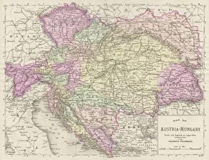
Background imageMap Collection: Austria Hungary map 1893

Austria Hungary map 1893
Johnsonas Universal Cyclopedia - Charles Kendall - New York 1893

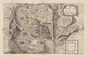
Background imageMap Collection: Map of the ancient Jerusalem, copperplate engraving, published in 1774

Map of the ancient Jerusalem, copperplate engraving, published in 1774
Map of the ancient Jerusalem. Copperplate engraving, published in 1774

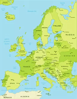
Background imageMap Collection: Detailed map of Europe

Detailed map of Europe
url=http:/istockphoto/search/lightbox/12455888]

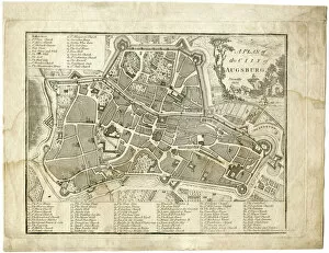
Background imageMap Collection: 17th century city, plan of Augsburg, Germany

17th century city, plan of Augsburg, Germany
Typical fortifications and references. Rich in details, beautifully aged paperPublished by J. Stockdale, Piccadilly 1800

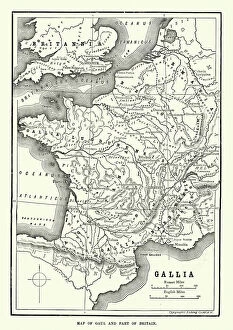
Background imageMap Collection: Map of Ancient Gaul (France)

Map of Ancient Gaul (France)
Vintage engraving of a Map of Ancient Gaul (France)

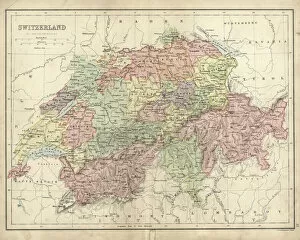
Background imageMap Collection: Antique map of Switzerland in the 19th Century

Antique map of Switzerland in the 19th Century, 1873

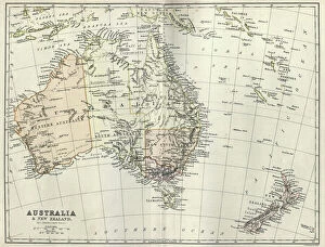
Background imageMap Collection: Antique map of Australia and New Zealand, 1884, 19th Century

Antique map of Australia and New Zealand, 1884, 19th Century

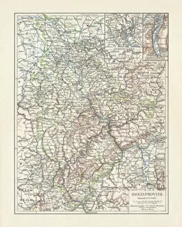
Background imageMap Collection: Map of Rhine Province (Prussia, Germany), lithograph, published in 1897

Map of Rhine Province (Prussia, Germany), lithograph, published in 1897
Topographic map of Rhine Province, the westernmost province of Prussia, within the German Reich, from 1822 to 1946. Lithograph, published in 1897

Background imageMap Collection: Historical city map of Nuremberg, Bavaria, Germany, lithograph, published 1897

Historical city map of Nuremberg, Bavaria, Germany, lithograph, published 1897

Background imageMap Collection: Historical city map of Krakow, Poland, wood engraving, published 1897

Historical city map of Krakow, Poland, wood engraving, published 1897
Historical city map of Krakow, Poland. Wood engraving, published in 1897

Background imageMap Collection: Map of Rhode island 1883

Map of Rhode island 1883
Encyclopedia Britannica 9th Edition New York Samuel L. Hall 1883 Vol XX

Background imageMap Collection: Newfoundland map 1884

Newfoundland map 1884
Encyclopedia Britannica 9th Edition New York Charles Scribners and Sonsl 1884 Vol XVII

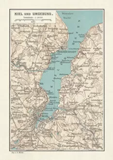
Background imageMap Collection: Map of Kiel, capital of Schleswig-Holstein, Germany, lithograph, published 1887

Map of Kiel, capital of Schleswig-Holstein, Germany, lithograph, published 1887
Map of Kiel and surroundings, capital and most populous city in the northern German state of Schleswig-Holstein. Lithograph, published in 1887

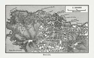
Background imageMap Collection: Historic city map of Beirut, Lebanon, wood engraving, published 1897

Historic city map of Beirut, Lebanon, wood engraving, published 1897
Historic city map of Beirut - capital and largest city of Lebanon. Wood engraving, published in 1897

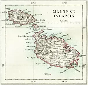
Background imageMap Collection: Maltese islands map 1883

Maltese islands map 1883
Encyclopedia Britannica 9th Edition New York Samuel L. Hall 1883 Vol XV

Background imageMap Collection: Illinois 1852 Map

Illinois 1852 Map

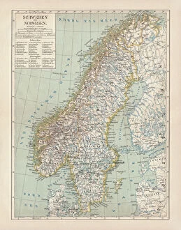
Background imageMap Collection: Sweden and Norway, lithograph, published in 1878

Sweden and Norway, lithograph, published in 1878
Ancient map of Sweden and Norway. Lithograph, published in 1878

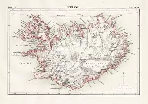
Background imageMap Collection: Iceland map 1881

Iceland map 1881
Encyclopedia Britannica 9th Edition Vol XII Philadelphia j.M. Stoddart & Co 1881

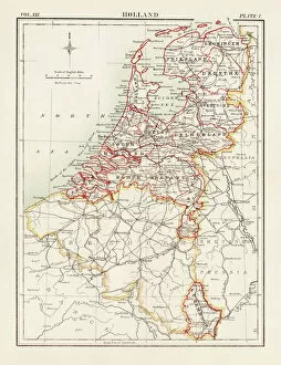
Background imageMap Collection: Holland map 1881

Holland map 1881
Encyclopedia Britannica 9th Edition Vol XII Philadelphia j.M. Stoddart & Co 1881

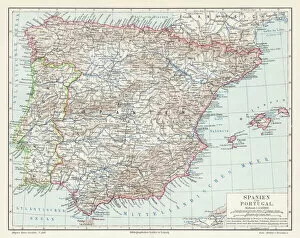
Background imageMap Collection: Spain and Portugal map 1895

Spain and Portugal map 1895
Meyers Konversations-Lexikon. Ein Nachschlagewerk des allgemeinen Wissens, 5th edition 17 volumes Bibliographisches Institut - Leipzig 1895-1897

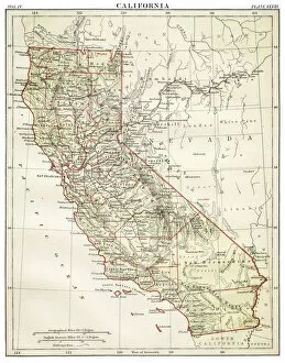
Background imageMap Collection: Map of California 1878

Map of California 1878
Encyclopedia Britannica 9th Edition Vol II New York, Samuel Hall 1878

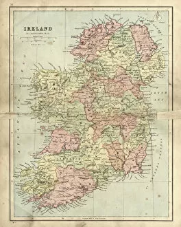
Background imageMap Collection: Antique damaged map of Ireland in the 19th Century

Antique damaged map of Ireland in the 19th Century
Vintage engraving of a Antique damaged map of Ireland in the 19th Century, 1873

Background imageMap Collection: Wisconsin MIchigan map 1867

Wisconsin MIchigan map 1867
Mitchellas Modern Atlas - Published by E.H. Butler and Co - Philadelphia 1867

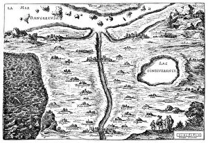
Background imageMap Collection: Carte du Tendre: imaginary map by a character in the novel Cl├®lie

Carte du Tendre: imaginary map by a character in the novel Cl├®lie
Madeleine de Scudery, often known simply as Mademoiselle de Scudery, was a French writer. Illustration of a Carte du Tendre

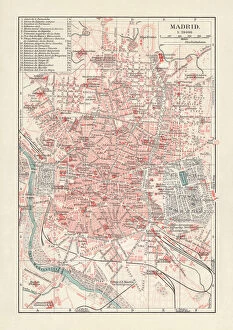
Background imageMap Collection: City map of Madrid, capital of Spain, lithograph, published 1897

City map of Madrid, capital of Spain, lithograph, published 1897
City map of Madrid, capital and largest city of Spain. Lithograph, published in 1897

Background imageMap Collection: City map of Lima and surroundings, Peru, woodcut, published 1897

City map of Lima and surroundings, Peru, woodcut, published 1897
City map of Lima and surroundings, capital and the largest city of Peru. Wood engraving, published in 1897

Background imageMap Collection: Map of Napoleons Campaign in Egypt 1798 - French campaign in Egypt and Syria

Map of Napoleons Campaign in Egypt 1798 - French campaign in Egypt and Syria
Illustration of a Map of Napoleons Campaign in Egypt 1798 - French campaign in Egypt and Syria

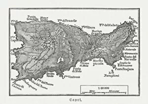
Background imageMap Collection: Map of Capri, Italian island, wood engraving published in 1897

Map of Capri, Italian island, wood engraving published in 1897
Map of Capri, Italian island. Wood engraving, published in 1897

Background imageMap Collection: Chile Vector Map

Chile Vector Map
+++

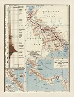
Background imageMap Collection: Panama Canal Project, lithograph, published in 1880

Panama Canal Project, lithograph, published in 1880
Ancient map of the Panama Canal Project. Lithograph, published in 1880

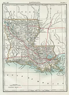
Background imageMap Collection: Map of Louisiana 1883

Map of Louisiana 1883
Encyclopedia Britannica 9th Edition New York Samuel L. Hall 1883 Vol XV

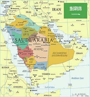
Background imageMap Collection: Map of Saudi Arabia with Flag

Map of Saudi Arabia with Flag
The map shows Saudi Arabia, officially the Kingdom of Saudi Arabia, a desert country in southwestern Asia (Middle East) that occupies most of the Arabian Peninsula

Background imageMap Collection: Map of New England states 1895

Map of New England states 1895
The Rand-McNally Grammar School Geography 1895 - Chicago & New York

Background imageMap Collection: Highly detailed USA Road Map

Highly detailed USA Road Map
Highly detailed map of United States with roads, states, big cities, rivers and some other objects

Background imageMap Collection: USA - Highway Map

USA - Highway Map
Highly detailed map of United States with roads, states, big cities, rivers and some other objects

Background imageMap Collection: South America map countries and cities

South America map countries and cities
Vector illustration of South America map

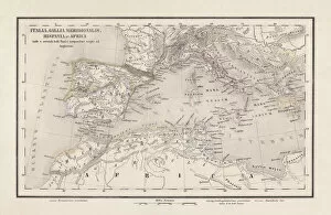
Background imageMap Collection: Roman Republic and Carthage during the Second Punic War (218-201-BC)

Roman Republic and Carthage during the Second Punic War (218-201-BC)
Ancient map of the Roman Republic and Carthage during the Second Punic War (218 to 201 BC). Legend in Latin language. Steel engraving with hand colored borderlines, published in 1861

Background imageMap Collection: Ancient and Modern Jerusalem Map Engraving

Ancient and Modern Jerusalem Map Engraving
Engraved illustration of Ancient and Modern Jerusalem Map Engraving from The Popular Pictorial Bible, Containing the Old and New Testaments, Published in 1862. Copyright has expired on this artwork

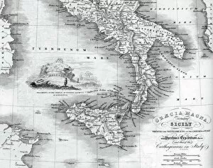
Background imageMap Collection: Vintage map of Magna Graecia

Vintage map of Magna Graecia, showing the settlements of the ancient greeks in Italy. Magna GrA|cia is the name of the coastal areas of Southern Italy on the Tarentine Gulf that was extensively

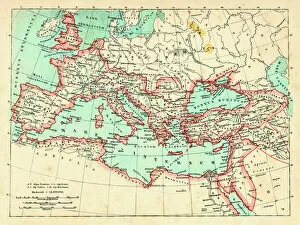
Background imageMap Collection: Roman Empire at its height under emperor Trajan 117 AD

Roman Empire at its height under emperor Trajan 117 AD
Map of ancient rome The Roman Empire at its height Emperor Trajan (ruled 98 - 117 AD) was Romes most expansionist ruler, his death marking the high water mark of Romes size

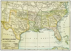
Background imageMap Collection: USA southern states map 1898

USA southern states map 1898
Map from Physical Geography by R. S. Tarr - The MacMillan Company - London 1898

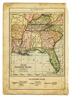
Background imageMap Collection: the southern states usa map

the southern states usa map
southern states usa - east coast, mexican gulf and atlantic ocean (1876)

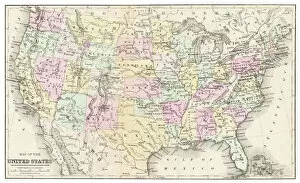
Background imageMap Collection: Map of United States 1899

Map of United States 1899
Maurys Geographical Series Manual of Geography - New York 1899

Background imageMap Collection: Antique Map of Scotland and Shetland Islands

Antique Map of Scotland and Shetland Islands
Vintage engraving of Antique Map of Scotland and Shetland Islands, 19th Century

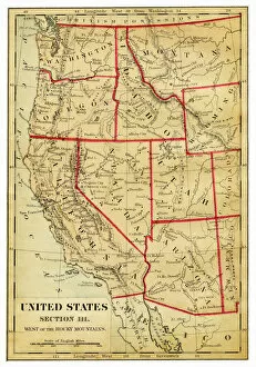
Background imageMap Collection: Map of Western states USA 1876

Map of Western states USA 1876
Maurys Geographical Series - The Word we live in by M.F. Maury LLD - New York and Baltimore 1876

Background imageMap Collection: Map of Madras (Chennai), India, 19th Century

Map of Madras (Chennai), India, 19th Century
Vintage engraving of Map of Madras (Chennai), India, 19th Century

Background imageMap Collection: Map of USA 1877

Map of USA 1877
Warrens Common School Geography 1877

Background imageMap Collection: Map of Europe

Map of Europe
Antique Maps of the World Map of Europe Nicolas Visscher c 1658


All Professionally Made to Order for Quick Shipping


-

Why Choose Us?

We are a leading provider of Art Prints and Photo Gifts since 2003, working in partnership with a range of Sporting Clubs, Charities, Museums and Picture Libraries. A large share of profits from any of their images will go directly towards supporting that charity or club. Our archive of images is carefully curated to bring you a wide range of subjects, including landscapes, wildlife, architecture, and more. We ship from our partner labs in the UK, USA, EU (Netherlands) and Australia.
+

How do I place an order?

Ordering is quick & easy - Just follow 5 Simple Steps:
  1. Find your image: Use our search box or browse our online photo Collections to find the image you want.

  2. Choose your print format: Select your desired product and add it to your cart.

  3. Enter your details: If you're a returning customer, simply enter your email address and password, and we'll fill in your billing and shipping address details. All personal details are held securely and are fully GDPR compliant. As standard, we remove all Personally Identifiable Information after 12 months.

  4. Pay for your purchase: We use state-of-the-art security for online shopping and do not have access to your card details.

  5. Sit back and relax: We'll email you confirmation of your order and when it's dispatched. Registered customers can also track orders in the 'My Account' area.

+

How do I pay for an order?

You can pay for your order with most of the major credit and debit cards, or PayPal. For added security, major financial institutions process payment details separately and securely on our behalf. We do not have access to your online payment card details. Online payments are preferred however we do take phone orders. For UK customers only we accept cheques issued against a UK bank.
+

Is my data safe?

We take data security very seriously. We do not have access to your full card details and all payments are requested over a fully secure connection. Additionally, we fully comply with current European and GDPR legislation, and automatically remove all personal data after at most 12 months (unless you have an account with us and have signed in recently). We also have a strict opt-in policy and would never sell your personal details. Your data is only used to fulfill your order promptly and efficiently.
+

Is wall art ready to hang?

For quick and easy installation all wall art, including framed prints, canvas prints and metal prints are supplied with a ready to hang solution on the back. Generally, saw tooth hangers are applied as they allow wall art to hang flush against the wall. The serrated edge of the hanger prevents the frame from shifting or tilting when hung.
+

Are the photo prints fade resistant?

Yes, we use archival quality photo paper photographic paper for vivid reproduction Prints are an accurate representations of the original artwork, which is preserved for artistic character and authenticity. We guarantee they match previews shown on our web site