
Satellite Collection (#5)
"Exploring the World from Above: Captivating Satellite Images Unveil Earth's Wonders" Discovering the British Isles


All Professionally Made to Order for Quick Shipping
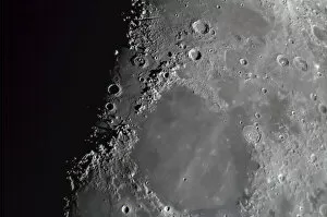
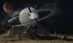
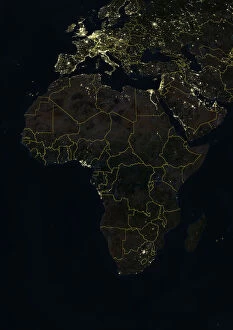
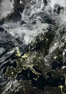
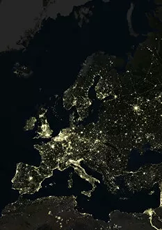
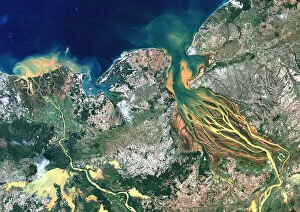
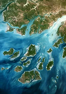
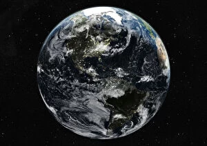
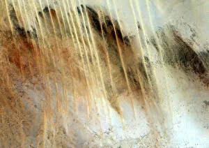
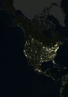
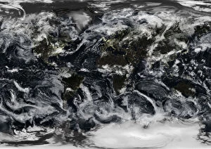
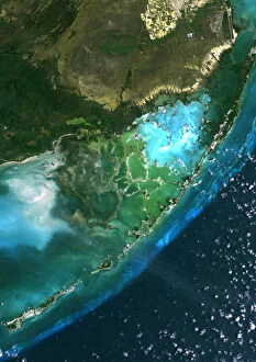
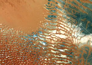
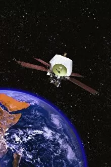
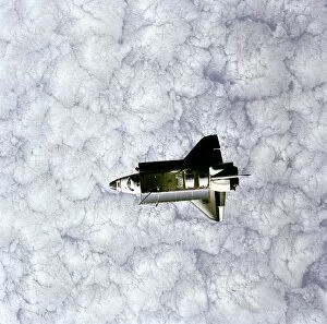
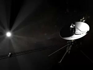
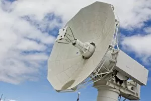
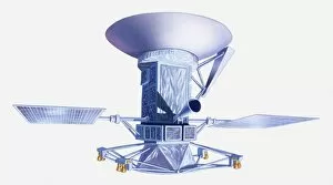
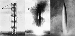
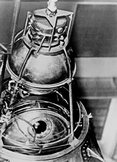
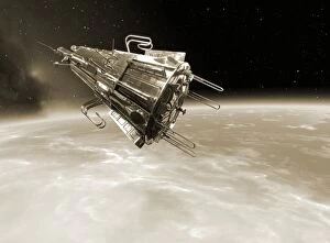
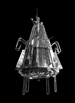
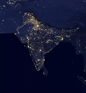
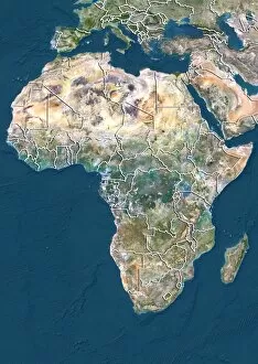
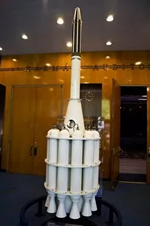
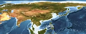
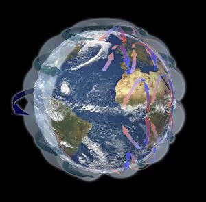
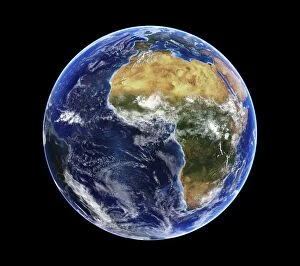
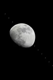
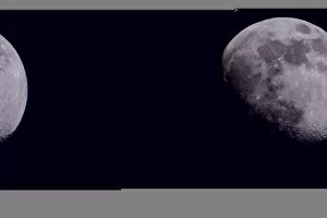
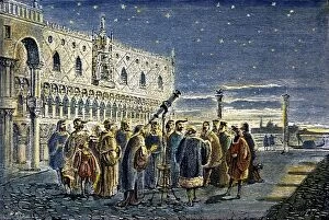
"Exploring the World from Above: Captivating Satellite Images Unveil Earth's Wonders" Discovering the British Isles: A mesmerizing satellite image showcases the stunning landscapes of the United Kingdom and Ireland, offering a bird's-eye view of their diverse beauty. Illuminating Europe at Night: Behold an enchanting satellite image capturing Europe in all its nocturnal glory, as cities sparkle like constellations against the darkened continent. Embracing Darkness: Witness Europe draped in darkness with another breathtaking satellite image, revealing a different perspective on our bustling continent during nighttime hours. The Whole Earth Shines Brightly: Prepare to be awestruck by an awe-inspiring satellite image showcasing our planet illuminated entirely at night, reminding us of humanity's collective presence across continents. Tenerife's Extraterrestrial Charm: Journey to Spain's Tenerife through a captivating satellite image that unveils this volcanic island's unique allure from space, where land and sea merge harmoniously. Earth Revealed from Space: Gaze upon an extraordinary satellite image that captures our magnificent blue planet suspended amidst endless cosmic wonders – a humbling reminder of our place in the universe. Scotland Unveiled from Above: Delight in a striking satellite image showcasing Scotland’s rugged terrain and picturesque lochs, inviting exploration into its untamed beauty from high above. Pioneering Space Exploration - Sputnik II & Laika: Commemorating history-making moments with a glimpse into space exploration’s early days – witness Sputnik II carrying Laika, paving the way for human endeavors beyond Earth’s atmosphere. Moonlit Phases Dance Across Skies: Marvel at nature’s celestial ballet as we present captivating images depicting various phases of the moon – each phase unveiling its own mystical charm against starry backdrops. Winter Wonderland Over United Kingdom 2010.