Home > Animals > Birds > Passerines > Crows And Jays > Rook
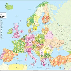
Uttlesford CB11 3 Map

![]()
Wall Art and Photo Gifts from Map Marketing
Uttlesford CB11 3 Map
Postcode Sector Map of Uttlesford CB11 3
Media ID 19967420
Barnard Close Bells Close Bishops Way Bluebell Drive Blyth Court Brick Kiln Lane Bromley Lane Brook Place Burnsall Close Butler Close Cambridge Road Chapel Lane Cherry Garden Lane Chestnut Court Chichester Road Church Lane Church Street Church View College Close Four Acres Foxglove Close Greenways High Street Highfields Hollow Road Holly Close Jordan Close Linton Close London Road Meadowsweet Way Mill Road Mount Pleasant Road Newport Newport Drive Northfield Road Old Mill Road Orchard Close Pavilion Way Prospect Place School Lane South Green South Road St Johns Close St Leonards Close Station Road Station Street The Avenue The Causeway The Close The Spinney Uttlesford Ventnor Road Victoria Avenue Victoria Gardens Water Lane Waterhouse Close West Road White Horse Lane Winstanley Road Wood End Debden
FEATURES IN THESE COLLECTIONS
> Animals
> Birds
> Passerines
> Crows And Jays
> Rook
> Animals
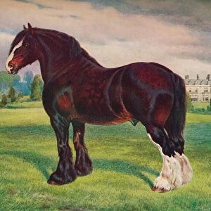
> Farm
> Horses
> Shire Horse
> Animals
> Fishes
> C
> Cherry Salmon
> Animals
> Fishes
> S
> Salmon
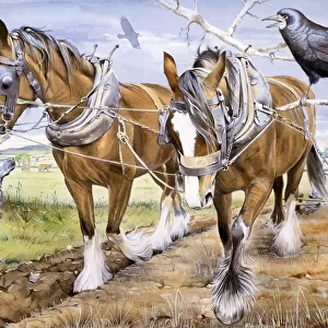
> Animals
> Mammals
> Horse
> Shire
> Animals
> Mammals
> Muridae
> Little Wood Mouse
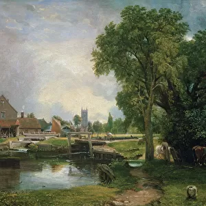
> Architecture
> Towers
> Churches
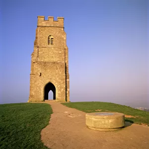
> Architecture
> Towers
> Victoria Tower
> Arts
> Artists
> B
> John Barnard
> Arts
> Artists
> B
> John Bromley
> Map Marketing
> Postcode Sector Maps
> CB - Cambridge
> Map Marketing
> UK Maps
MADE IN THE USA
Safe Shipping with 30 Day Money Back Guarantee
FREE PERSONALISATION*
We are proud to offer a range of customisation features including Personalised Captions, Color Filters and Picture Zoom Tools
SECURE PAYMENTS
We happily accept a wide range of payment options so you can pay for the things you need in the way that is most convenient for you
* Options may vary by product and licensing agreement. Zoomed Pictures can be adjusted in the Cart.