
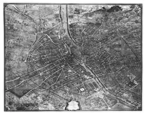
Street Map Collection (#2)
"Exploring the urban maze: Unveiling the secrets of city streets through street maps" San Francisco City Map


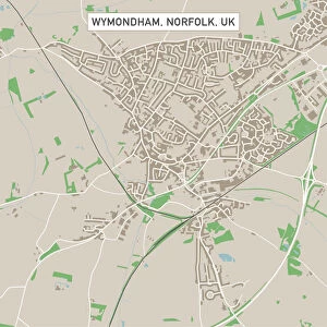
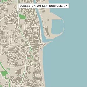
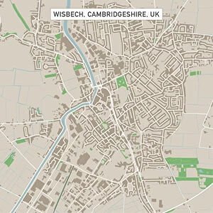
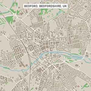
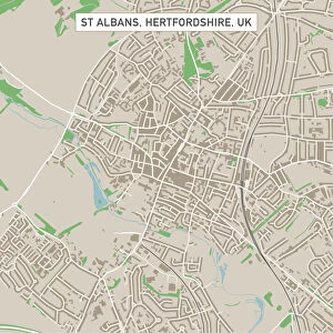
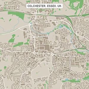
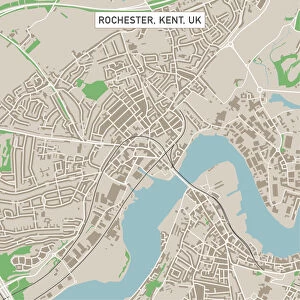
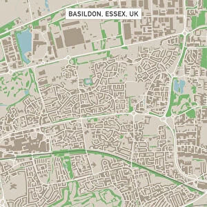


All Professionally Made to Order for Quick Shipping
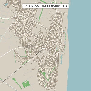
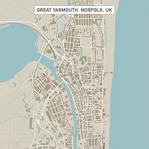
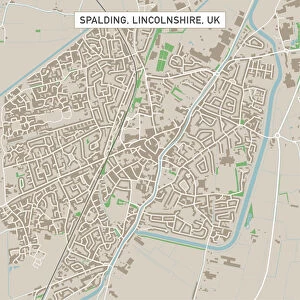
"Exploring the urban maze: Unveiling the secrets of city streets through street maps" San Francisco City Map: Navigate the vibrant streets of San Francisco and uncover hidden gems in this iconic city. Washington DC City Map: Discover the heart of American history as you wander through the streets of Washington DC, home to famous landmarks and political powerhouses. Dublin City Centre Street Map: Immerse yourself in Irish culture as you explore Dublin's bustling city center, filled with lively pubs, historic sites, and charming cobblestone streets. Milwaukee, Wisconsin Area Street Map: Get lost in the charm of Milwaukee's neighborhoods and experience Midwestern hospitality at its finest. Ipswich Suffolk UK City Street Map: Dive into English heritage as you stroll along Ipswich's picturesque streets lined with medieval architecture and quaint shops. Madrid City Centre Street Map: Embark on a journey through Spain's capital city, Madrid, where grand boulevards meet narrow alleyways leading to vibrant plazas brimming with life. Margate Kent UK City Street Map: Explore Margate's coastal charm as you meander along its scenic promenade or lose yourself amidst its artistic community thriving within colorful lanes. Los Angeles City Map: Experience the glitz and glamour of Hollywood while navigating through Los Angeles' sprawling metropolis dotted with palm-lined avenues and world-famous attractions. Rome City Centre Street Map: Step back in time to ancient Rome by wandering through its enchanting cobbled alleys that lead to awe-inspiring historical sites like the Colosseum or Vatican City. Lowestoft Suffolk UK City Street Map: Delight in Lowestoft's seaside allure as you follow winding paths that reveal stunning beaches, charming cafes, and a rich maritime heritage. Bury St Edmunds Suffolk UKCityStreetMap .