Fraud Blocker Skip to main content

Sandy Lane Collection (#4)

Welcome to Sandy Lane, a hidden gem nestled in the heart of various picturesque locations across the UK

Background imageSandy Lane Collection: Windsor and Maidenhead SL5 8 Map

Windsor and Maidenhead SL5 8 Map
Postcode Sector Map of Windsor and Maidenhead SL5 8

Background imageSandy Lane Collection: Windsor and Maidenhead SL5 0 Map

Windsor and Maidenhead SL5 0 Map
Postcode Sector Map of Windsor and Maidenhead SL5 0

Background imageSandy Lane Collection: Test Valley SO52 9 Map

Test Valley SO52 9 Map
Postcode Sector Map of Test Valley SO52 9

Background imageSandy Lane Collection: Test Valley SO51 0 Map

Test Valley SO51 0 Map
Postcode Sector Map of Test Valley SO51 0

Background imageSandy Lane Collection: Eastleigh SO50 8 Map

Eastleigh SO50 8 Map
Postcode Sector Map of Eastleigh SO50 8

Background imageSandy Lane Collection: Wiltshire SP5 2 Map

Wiltshire SP5 2 Map
Postcode Sector Map of Wiltshire SP5 2

Background imageSandy Lane Collection: South Oxfordshire OX33 1 Map

South Oxfordshire OX33 1 Map
Postcode Sector Map of South Oxfordshire OX33 1

Background imageSandy Lane Collection: Plymouth PL7 5 Map

Plymouth PL7 5 Map
Postcode Sector Map of Plymouth PL7 5

Background imageSandy Lane Collection: South Hams PL21 0 Map

South Hams PL21 0 Map
Postcode Sector Map of South Hams PL21 0

Background imageSandy Lane Collection: Cornwall PL28 8 Map

Cornwall PL28 8 Map
Postcode Sector Map of Cornwall PL28 8

Background imageSandy Lane Collection: Fylde PR3 6 Map

Fylde PR3 6 Map
Postcode Sector Map of Fylde PR3 6

Background imageSandy Lane Collection: Fylde PR4 0 Map

Fylde PR4 0 Map
Postcode Sector Map of Fylde PR4 0

Background imageSandy Lane Collection: East Lindsey PE24 5 Map

East Lindsey PE24 5 Map
Postcode Sector Map of East Lindsey PE24 5

Background imageSandy Lane Collection: East Lindsey PE23 5 Map

East Lindsey PE23 5 Map
Postcode Sector Map of East Lindsey PE23 5

Background imageSandy Lane Collection: East Lindsey PE23 4 Map

East Lindsey PE23 4 Map
Postcode Sector Map of East Lindsey PE23 4

Background imageSandy Lane Collection: Fenland PE14 7 Map

Fenland PE14 7 Map
Postcode Sector Map of Fenland PE14 7

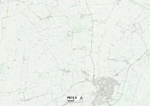
Background imageSandy Lane Collection: Fenland PE13 5 Map

Fenland PE13 5 Map
Postcode Sector Map of Fenland PE13 5

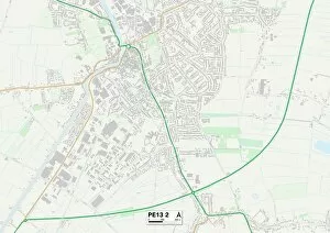
Background imageSandy Lane Collection: Fenland PE13 2 Map

Fenland PE13 2 Map
Postcode Sector Map of Fenland PE13 2

Background imageSandy Lane Collection: Stockport SK5 7 Map

Stockport SK5 7 Map
Postcode Sector Map of Stockport SK5 7

Background imageSandy Lane Collection: South Northamptonshire NN13 5 Map

South Northamptonshire NN13 5 Map
Postcode Sector Map of South Northamptonshire NN13 5

Background imageSandy Lane Collection: Vale of White Horse OX13 5 Map

Vale of White Horse OX13 5 Map
Postcode Sector Map of Vale of White Horse OX13 5

Background imageSandy Lane Collection: South Oxfordshire OX9 2 Map

South Oxfordshire OX9 2 Map
Postcode Sector Map of South Oxfordshire OX9 2

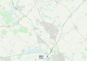
Background imageSandy Lane Collection: Cherwell OX5 1 Map

Cherwell OX5 1 Map
Postcode Sector Map of Cherwell OX5 1

Background imageSandy Lane Collection: Oxford OX4 6 Map

Oxford OX4 6 Map
Postcode Sector Map of Oxford OX4 6

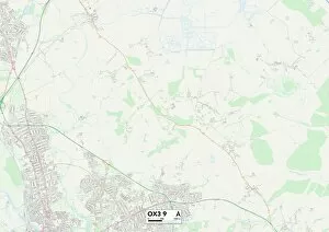
Background imageSandy Lane Collection: Oxford OX3 9 Map

Oxford OX3 9 Map
Postcode Sector Map of Oxford OX3 9

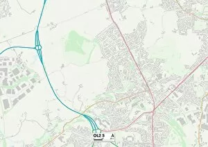
Background imageSandy Lane Collection: Oldham OL2 5 Map

Oldham OL2 5 Map
Postcode Sector Map of Oldham OL2 5

Background imageSandy Lane Collection: West Norfolk PE38 0 Map

West Norfolk PE38 0 Map
Postcode Sector Map of West Norfolk PE38 0

Background imageSandy Lane Collection: West Norfolk PE36 6 Map

West Norfolk PE36 6 Map
Postcode Sector Map of West Norfolk PE36 6

Background imageSandy Lane Collection: Suffolk NR34 0 Map

Suffolk NR34 0 Map
Postcode Sector Map of Suffolk NR34 0

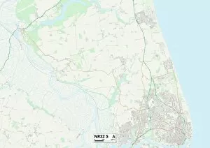
Background imageSandy Lane Collection: Suffolk NR32 5 Map

Suffolk NR32 5 Map
Postcode Sector Map of Suffolk NR32 5

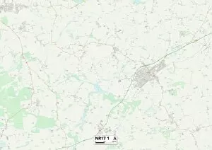
Background imageSandy Lane Collection: Norfolk NR17 1 Map

Norfolk NR17 1 Map
Postcode Sector Map of Norfolk NR17 1

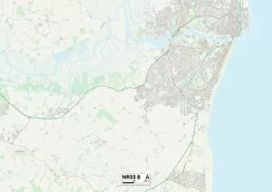
Background imageSandy Lane Collection: Suffolk NR33 8 Map

Suffolk NR33 8 Map
Postcode Sector Map of Suffolk NR33 8

Background imageSandy Lane Collection: Norfolk NR21 0 Map

Norfolk NR21 0 Map
Postcode Sector Map of Norfolk NR21 0

Background imageSandy Lane Collection: Norfolk NR29 4 Map

Norfolk NR29 4 Map
Postcode Sector Map of Norfolk NR29 4

Background imageSandy Lane Collection: Suffolk NR34 8 Map

Suffolk NR34 8 Map
Postcode Sector Map of Suffolk NR34 8

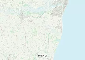
Background imageSandy Lane Collection: Suffolk NR34 7 Map

Suffolk NR34 7 Map
Postcode Sector Map of Suffolk NR34 7

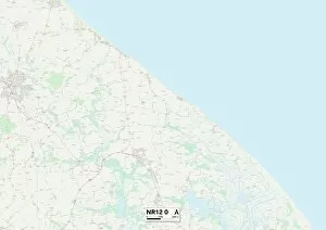
Background imageSandy Lane Collection: Norfolk NR12 0 Map

Norfolk NR12 0 Map
Postcode Sector Map of Norfolk NR12 0

Background imageSandy Lane Collection: West Norfolk PE32 2 Map

West Norfolk PE32 2 Map
Postcode Sector Map of West Norfolk PE32 2

Background imageSandy Lane Collection: West Norfolk PE31 8 Map

West Norfolk PE31 8 Map
Postcode Sector Map of West Norfolk PE31 8

Background imageSandy Lane Collection: West Norfolk PE32 1 Map

West Norfolk PE32 1 Map
Postcode Sector Map of West Norfolk PE32 1

Background imageSandy Lane Collection: West Norfolk PE31 6 Map

West Norfolk PE31 6 Map
Postcode Sector Map of West Norfolk PE31 6

Background imageSandy Lane Collection: West Norfolk PE30 3 Map

West Norfolk PE30 3 Map
Postcode Sector Map of West Norfolk PE30 3

Background imageSandy Lane Collection: Huntingdonshire PE28 0 Map

Huntingdonshire PE28 0 Map
Postcode Sector Map of Huntingdonshire PE28 0

Background imageSandy Lane Collection: Isle of Wight PO30 3 Map

Isle of Wight PO30 3 Map
Postcode Sector Map of Isle of Wight PO30 3

Background imageSandy Lane Collection: South Ribble PR25 2 Map

South Ribble PR25 2 Map
Postcode Sector Map of South Ribble PR25 2

Background imageSandy Lane Collection: Sussex PO18 9 Map

Sussex PO18 9 Map
Postcode Sector Map of Sussex PO18 9

Background imageSandy Lane Collection: Chorley PR7 4 Map

Chorley PR7 4 Map
Postcode Sector Map of Chorley PR7 4

Background imageSandy Lane Collection: Chorley PR6 8 Map

Chorley PR6 8 Map
Postcode Sector Map of Chorley PR6 8


All Professionally Made to Order for Quick Shipping

Welcome to Sandy Lane, a hidden gem nestled in the heart of various picturesque locations across the UK. From South Hams in TQ7 2 Map to Melton in LE14 2 Map, Cheshire East in SK10 4 Map to Shropshire in TF9 2 Map, and Pendle in BB9 8 Map to Wolverhampton in WV10 8 Map - Sandy Lane offers tranquility and natural beauty wherever it resides. Escape the hustle and bustle of city life as you explore Cannock Chase's WS15 2 Map or Wigan's WA3 1 Map. Immerse yourself amidst nature's wonders with Wealden's TN22 5 map or Wiltshire's SN15 2 map. Discover the rich history and charm of Shropshire once again with TF9 4 map or indulge your senses with cultural experiences at Walsall’s WS5-4-map. Sandy Lane is not just a place; it is an experience that rejuvenates your soul. Whether you seek solace by strolling along sandy beaches, meandering through lush green landscapes, or simply unwinding amidst serene surroundings – this idyllic destination has something for everyone. Embrace the warmth of friendly locals, savor delectable cuisine unique to each region, and immerse yourself into local traditions that make these places truly special. Each location on Sandy Lane promises unforgettable memories etched forever within your heart. So pack your bags and embark on an adventure like no other. Let Sandy Lane be your guide as you traverse through breathtaking vistas across multiple maps. Uncover hidden treasures waiting around every corner while creating cherished moments that will last a lifetime. Welcome to Sandy Lane – where dreams become reality.