Fraud Blocker Skip to main content

Chapel Road Collection (#2)

Discover the charm of Chapel Road, a hidden gem in various locations across the UK

Background imageChapel Road Collection: Pembrokeshire SA65 9 Map

Pembrokeshire SA65 9 Map
Postcode Sector Map of Pembrokeshire SA65 9

Background imageChapel Road Collection: Pembrokeshire SA62 4 Map

Pembrokeshire SA62 4 Map
Postcode Sector Map of Pembrokeshire SA62 4

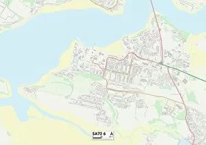
Background imageChapel Road Collection: Pembrokeshire SA72 6 Map

Pembrokeshire SA72 6 Map
Postcode Sector Map of Pembrokeshire SA72 6

Background imageChapel Road Collection: Sedgemoor TA6 4 Map

Sedgemoor TA6 4 Map
Postcode Sector Map of Sedgemoor TA6 4

Background imageChapel Road Collection: Somerset TA3 6 Map

Somerset TA3 6 Map
Postcode Sector Map of Somerset TA3 6

Background imageChapel Road Collection: Somerset TA7 0 Map

Somerset TA7 0 Map
Postcode Sector Map of Somerset TA7 0

Background imageChapel Road Collection: Telford and Wrekin TF8 7 Map

Telford and Wrekin TF8 7 Map
Postcode Sector Map of Telford and Wrekin TF8 7

Background imageChapel Road Collection: Teignbridge TQ12 2 Map

Teignbridge TQ12 2 Map
Postcode Sector Map of Teignbridge TQ12 2

Background imageChapel Road Collection: Reigate and Banstead RH1 1 Map

Reigate and Banstead RH1 1 Map
Postcode Sector Map of Reigate and Banstead RH1 1

Background imageChapel Road Collection: Chesterfield S42 5 Map

Chesterfield S42 5 Map
Postcode Sector Map of Chesterfield S42 5

Background imageChapel Road Collection: Bolsover S44 6 Map

Bolsover S44 6 Map
Postcode Sector Map of Bolsover S44 6

Background imageChapel Road Collection: Sheffield S35 4 Map

Sheffield S35 4 Map
Postcode Sector Map of Sheffield S35 4

Background imageChapel Road Collection: Sheffield S35 1 Map

Sheffield S35 1 Map
Postcode Sector Map of Sheffield S35 1

Background imageChapel Road Collection: Rochford SS3 9 Map

Rochford SS3 9 Map
Postcode Sector Map of Rochford SS3 9

Background imageChapel Road Collection: West Oxfordshire OX29 6 Map

West Oxfordshire OX29 6 Map
Postcode Sector Map of West Oxfordshire OX29 6

Background imageChapel Road Collection: Cornwall PL12 4 Map

Cornwall PL12 4 Map
Postcode Sector Map of Cornwall PL12 4

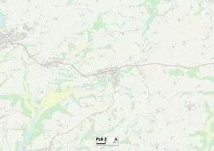
Background imageChapel Road Collection: South Hams PL8 2 Map

South Hams PL8 2 Map
Postcode Sector Map of South Hams PL8 2

Background imageChapel Road Collection: Highland PH26 3 Map

Highland PH26 3 Map
Postcode Sector Map of Highland PH26 3

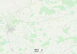
Background imageChapel Road Collection: Perth and Kinross PH7 3 Map

Perth and Kinross PH7 3 Map
Postcode Sector Map of Perth and Kinross PH7 3

Background imageChapel Road Collection: Cornwall PL26 7 Map

Cornwall PL26 7 Map
Postcode Sector Map of Cornwall PL26 7

Background imageChapel Road Collection: Cornwall PL26 8 Map

Cornwall PL26 8 Map
Postcode Sector Map of Cornwall PL26 8

Background imageChapel Road Collection: Cornwall PL24 2 Map

Cornwall PL24 2 Map
Postcode Sector Map of Cornwall PL24 2

Background imageChapel Road Collection: Cornwall PL30 3 Map

Cornwall PL30 3 Map
Postcode Sector Map of Cornwall PL30 3

Background imageChapel Road Collection: Preston PR2 8 Map

Preston PR2 8 Map
Postcode Sector Map of Preston PR2 8

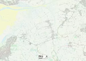
Background imageChapel Road Collection: Fylde PR4 6 Map

Fylde PR4 6 Map
Postcode Sector Map of Fylde PR4 6

Background imageChapel Road Collection: East Lindsey PE25 1 Map

East Lindsey PE25 1 Map
Postcode Sector Map of East Lindsey PE25 1

Background imageChapel Road Collection: Renfrewshire PA6 7 Map

Renfrewshire PA6 7 Map
Postcode Sector Map of Renfrewshire PA6 7

Background imageChapel Road Collection: Boston PE22 9 Map

Boston PE22 9 Map
Postcode Sector Map of Boston PE22 9

Background imageChapel Road Collection: Fenland PE13 1 Map

Fenland PE13 1 Map
Postcode Sector Map of Fenland PE13 1

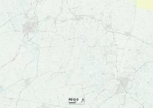
Background imageChapel Road Collection: South Holland PE12 0 Map

South Holland PE12 0 Map
Postcode Sector Map of South Holland PE12 0

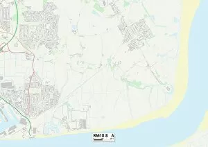
Background imageChapel Road Collection: Thurrock RM18 8 Map

Thurrock RM18 8 Map
Postcode Sector Map of Thurrock RM18 8

Background imageChapel Road Collection: Huntingdonshire PE26 2 Map

Huntingdonshire PE26 2 Map
Postcode Sector Map of Huntingdonshire PE26 2

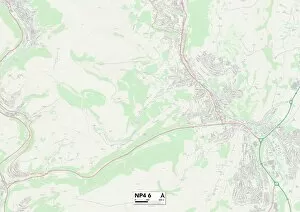
Background imageChapel Road Collection: Monmouthshire NP4 6 Map

Monmouthshire NP4 6 Map
Postcode Sector Map of Monmouthshire NP4 6

Background imageChapel Road Collection: Corby NN17 3 Map

Corby NN17 3 Map
Postcode Sector Map of Corby NN17 3

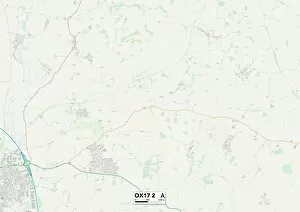
Background imageChapel Road Collection: Cherwell OX17 2 Map

Cherwell OX17 2 Map
Postcode Sector Map of Cherwell OX17 2

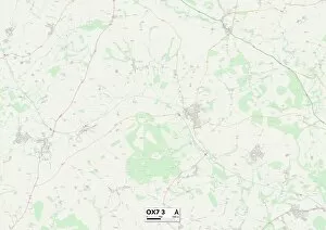
Background imageChapel Road Collection: West Oxfordshire OX7 3 Map

West Oxfordshire OX7 3 Map
Postcode Sector Map of West Oxfordshire OX7 3

Background imageChapel Road Collection: Oldham OL3 7 Map

Oldham OL3 7 Map
Postcode Sector Map of Oldham OL3 7

Background imageChapel Road Collection: West Norfolk PE37 8 Map

West Norfolk PE37 8 Map
Postcode Sector Map of West Norfolk PE37 8

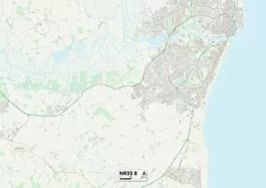
Background imageChapel Road Collection: Suffolk NR33 8 Map

Suffolk NR33 8 Map
Postcode Sector Map of Suffolk NR33 8

Background imageChapel Road Collection: Suffolk NR34 8 Map

Suffolk NR34 8 Map
Postcode Sector Map of Suffolk NR34 8

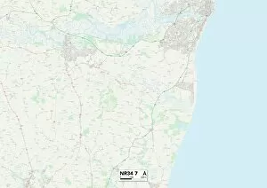
Background imageChapel Road Collection: Suffolk NR34 7 Map

Suffolk NR34 7 Map
Postcode Sector Map of Suffolk NR34 7

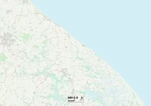
Background imageChapel Road Collection: Norfolk NR12 0 Map

Norfolk NR12 0 Map
Postcode Sector Map of Norfolk NR12 0

Background imageChapel Road Collection: Newport NP18 2 Map

Newport NP18 2 Map
Postcode Sector Map of Newport NP18 2

Background imageChapel Road Collection: West Norfolk PE32 1 Map

West Norfolk PE32 1 Map
Postcode Sector Map of West Norfolk PE32 1

Background imageChapel Road Collection: West Norfolk PE31 6 Map

West Norfolk PE31 6 Map
Postcode Sector Map of West Norfolk PE31 6

Background imageChapel Road Collection: Berkshire RG7 3 Map

Berkshire RG7 3 Map
Postcode Sector Map of Berkshire RG7 3

Background imageChapel Road Collection: Isle of Wight PO33 3 Map

Isle of Wight PO33 3 Map
Postcode Sector Map of Isle of Wight PO33 3

Background imageChapel Road Collection: Horsham RH13 0 Map

Horsham RH13 0 Map
Postcode Sector Map of Horsham RH13 0


All Professionally Made to Order for Quick Shipping

Discover the charm of Chapel Road, a hidden gem in various locations across the UK. From Leeds LS7 3 to Liverpool L19 2, Bexley DA7 4 to Lambeth SE27 0, and West Norfolk PE34 4 to West Norfolk PE33 9, this road weaves its way through picturesque landscapes and vibrant communities. In Huntingdonshire PE28 3, Chapel Road stands as a testament to history with its quaint architecture and rich heritage. Salford M44 6 offers a bustling atmosphere where Chapel Road intersects with lively streets filled with shops and cafes. Bristol BS13 7 welcomes visitors with open arms as they stroll down Chapel Road's tree-lined sidewalks. Worthing BN11 1 invites you to explore its coastal beauty along this enchanting route. Cannock Chase WS15 4 showcases nature at its finest as Chapel Road meanders through lush greenery and peaceful surroundings. And in North Yorkshire YO17 8, this road takes you on an unforgettable journey through charming villages and breathtaking countryside vistas. Whether you're seeking historical landmarks or vibrant city life, there's something for everyone along the diverse stretches of Chapel Road. So grab your map and embark on an adventure that will lead you to new experiences and cherished memories.