Home > North America > United States of America > Maps
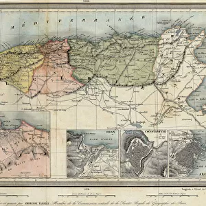
Geographic map of the western border of the United States, North America, circa 1880. Color lithography, 19th century

![]()
Wall Art and Photo Gifts from Fine Art Finder
Geographic map of the western border of the United States, North America, circa 1880. Color lithography, 19th century
NWI4850732 Geographic map of the western border of the United States, North America, circa 1880. Color lithography, 19th century.; (add.info.: Geographic map of the western border of the United States, North America, circa 1880. Color lithography, 19th century.); Photo © North Wind Pictures
Media ID 38417942
© © North Wind Pictures / Bridgeman Images
FEATURES IN THESE COLLECTIONS
> Fine Art Finder
> Artists
> Unknown Artist
> Maps and Charts
> Early Maps
> Maps and Charts
> Related Images
> North America
> United States of America
> Maps
EDITORS COMMENTS
This stunning color lithograph from the 19th century showcases a detailed geographic map of the western border of the United States in North America, circa 1880. The intricate details and vibrant colors bring this historical map to life, offering a glimpse into the past and how the boundaries of this vast country were defined during that time.
The map provides a fascinating look at the geographical features and landmarks that shaped the western frontier of the United States, highlighting key locations and territories with precision. From mountain ranges to rivers, cities to deserts, every element is meticulously depicted on this beautifully crafted print.
As we study this piece of history, we are reminded of the pioneering spirit and adventurous nature of those who explored and settled these lands during a pivotal period in American history. The map serves as a visual representation of Manifest Destiny and westward expansion, capturing an era when new horizons beckoned and opportunities abounded.
Whether you're a history buff or simply appreciate fine art, this print offers both educational value and aesthetic appeal. It's a timeless piece that continues to inspire curiosity about our nation's past while celebrating the beauty of cartography as an art form.
MADE IN THE USA
Safe Shipping with 30 Day Money Back Guarantee
FREE PERSONALISATION*
We are proud to offer a range of customisation features including Personalised Captions, Color Filters and Picture Zoom Tools
SECURE PAYMENTS
We happily accept a wide range of payment options so you can pay for the things you need in the way that is most convenient for you
* Options may vary by product and licensing agreement. Zoomed Pictures can be adjusted in the Cart.