
Natural Colour Collection
"Exploring the Natural Colour Palette: From Scotland to Dubai" From the lush landscapes of Scotland to the bustling streets of London
All Professionally Made to Order for Quick Shipping
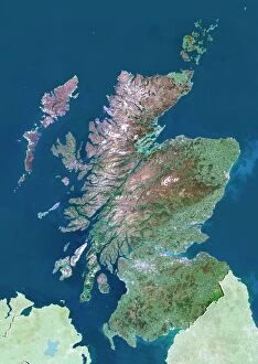
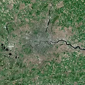
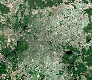
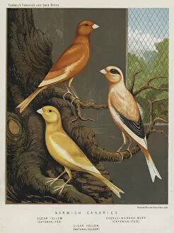
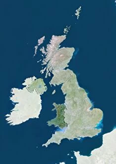
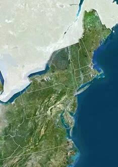
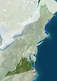
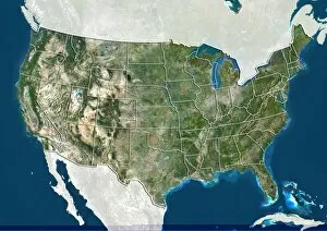
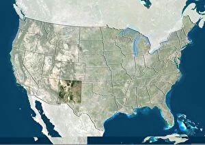
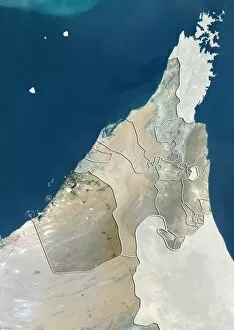
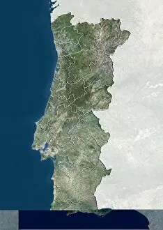
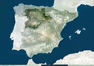
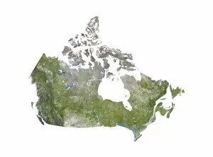
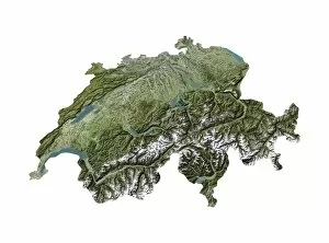
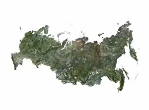
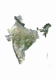
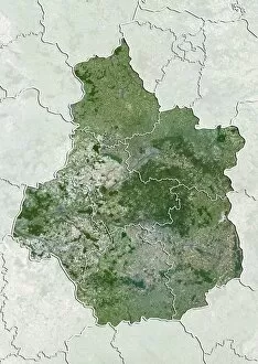
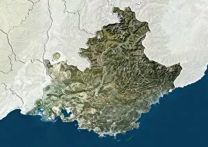
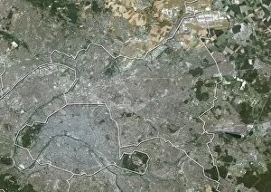
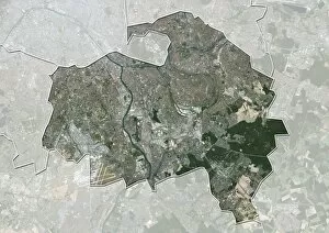
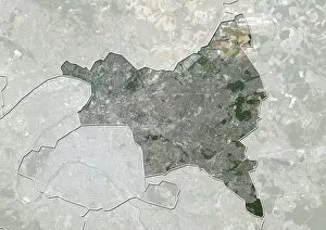
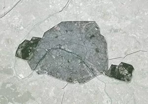
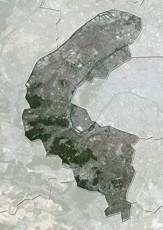
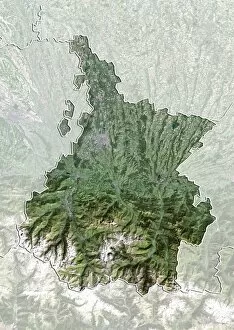
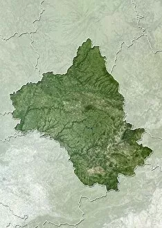
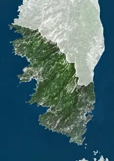
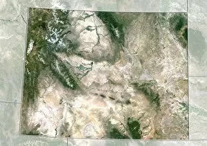
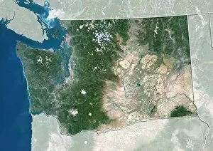
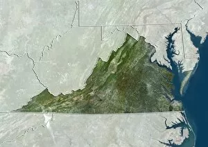
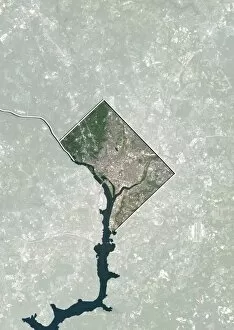
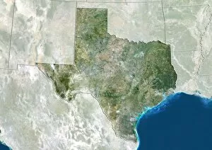
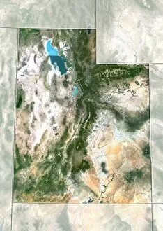
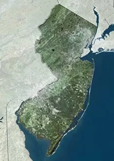
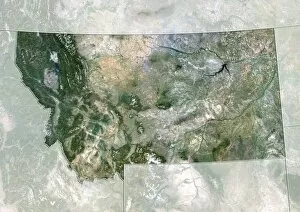
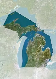
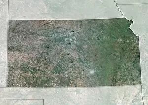
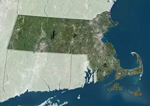
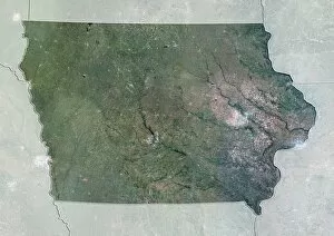
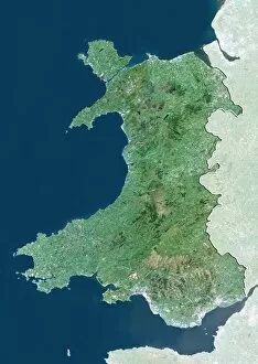
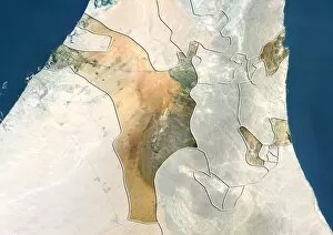
"Exploring the Natural Colour Palette: From Scotland to Dubai" From the lush landscapes of Scotland to the bustling streets of London, satellite images reveal a world adorned in natural colour. The vibrant hues captured from above showcase the breathtaking beauty found across different regions. In Berlin, Germany, a tapestry of colours unfolds as buildings and parks blend seamlessly together. Nature's brushstrokes create an enchanting mosaic that captivates both locals and visitors alike. Traveling further south to Norwich Canaries, we encounter a symphony of Clear Yellow and Cayenne-Fed tones. Evenly-Marked Buff shades add depth to this picturesque scene, painting a picture-perfect landscape that seems straight out of an artist's imagination. Flipping through pages from Army and Navy Stores Catalogue dating back to 1939-40 takes us on a nostalgic journey. Litho prints bring forth memories of simpler times when Natural Colour was celebrated in fashion and design. Crossing borders into Wales, United Kingdom reveals nature at its finest. Satellite imagery showcases rolling hills blanketed in rich greens while rivers meander through valleys like veins carrying life-giving water throughout this majestic land. Venturing across the Atlantic Ocean brings us to Northeastern USA where autumn paints forests with fiery reds, burnt oranges, and golden yellows, and is here that Mother Nature puts on her most spectacular show for all who are fortunate enough to witness it. As we delve deeper into Virginia's landscapes within the United States' borders, satellite images unveil serene coastal scenes bathed in soft blues and sandy beiges. These calming tones evoke feelings of tranquility amidst bustling cities nearby. Heading westward towards New Mexico unveils an entirely different palette altogether. Earthy browns merge with vibrant desert blooms creating a mesmerizing contrast against azure skies - truly showcasing nature's ability to surprise us at every turn. Finally reaching Dubai in UAE concludes our exploration with awe-inspiring sights seen from above.