
Aerial View Collection
From the bustling streets of Beirut, Lebanon to the serene shores of Croyde beach in North Devon, England


All Professionally Made to Order for Quick Shipping
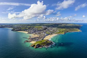
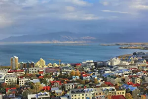
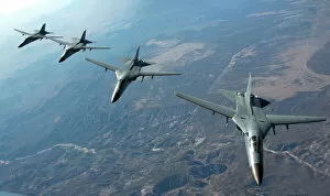
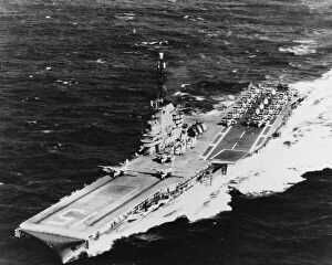
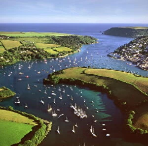
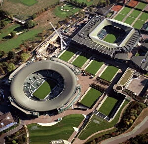
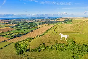
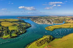
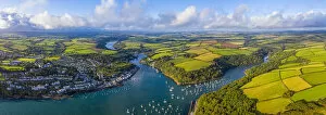
From the bustling streets of Beirut, Lebanon to the serene shores of Croyde beach in North Devon, England, this collection of aerial views takes us on a captivating journey around the world. In 1962, the USS Randolph proudly sailed through the open sea with two S2F airplanes gracefully perched on its catapults. The rugged beauty of West Penwith's Lands End Peninsula and Sennen Cove in Cornwall is revealed from above, showcasing nature's artistry at its finest. Moving across continents, we soar over Lundy Island in Bristol Channel, where an enchanting panorama unfolds from north to south. The skies then witness four Royal Australian Air Force F-111 aircraft soaring high with power and precision. Hope Cove in Devon welcomes us with its idyllic charm as we marvel at Europe's coastal splendor. The All-England Club reveals its grandeur from an aerial perspective as Centre Court and Number 1 Court stand tall amidst lush greenery during tennis season. Further south lies Lagos in Algarve, Portugal - a sun-kissed paradise where golden sands meet azure waters under a watchful eye from above. Siena old Town beckons us next with its medieval charm nestled within Tuscany's picturesque landscapes. Instow in Devon invites tranquility as we admire this quaint village along the United Kingdom's coastline. Finally, Salcombe on Kingsbridge Estuary captivates our senses with its breathtaking beauty - an epitome of English elegance against a backdrop of rolling hills and sparkling waters. These awe-inspiring aerial views remind us that there is always more than meets the eye when exploring our magnificent planet.